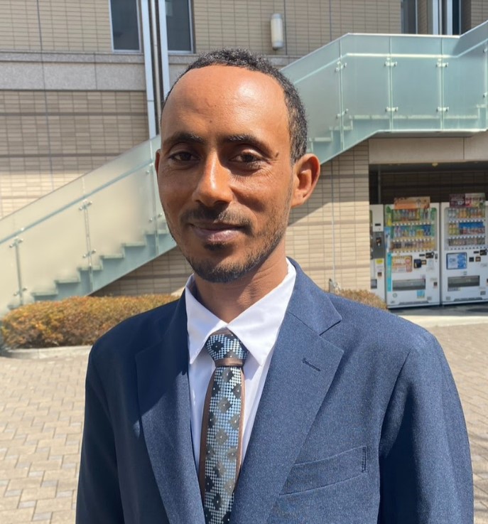
Lecturer & GeoAI Researcher
Bahir Dar University, Ethiopia
Teach GeoAI, GIS, Climate Modeling • Mentor 200+ students • 18+ Q1 publications
Advancing GeoAI Innovation • Driving Hydro-Climate Solutions • Teaching & Mentorship • Integrating Geo-Agri Intelligence • Addressing Land Degradation Challenges
I am a Lecturer and Researcher in the Department of Natural Resource Management at Bahir Dar University, Ethiopia. With a MEXT Scholarship, I earned my MSc in Information Systems Science from Soka University, Japan (2023–2025), building on my MSc in GIS and Remote Sensing from Mekelle University (2017) and BSc in Geography and Environmental Studies from Wolaita Sodo University (2010).
As Founder & CEO of GeoAgriVision, I lead an innovative platform integrating GeoAI, satellite intelligence, and machine learning to deliver real-time insights for drought prediction, land degradation monitoring, and climate-resilient agriculture across the Horn of Africa.
My research bridges geospatial analysis, deep learning, and hydrological modeling to address pressing environmental challenges from soil erosion in Ethiopia’s highlands to vegetation shifts under climate stress. I have authored 18 peer-reviewed publications with 465+ citations and an h-index of 9, contributing to global efforts in sustainable land and water management.
End-to-end mastery of GeoAI, ML, and Web Visualization.
95% Proficiency
98% Proficiency
90% Proficiency
88% Proficiency
Bahir Dar University, Ethiopia
Teach GeoAI, GIS, Climate Modeling • Mentor 200+ students • 18+ Q1 publications
Soka University, Japan
Advanced predictive modeling • ML + environmental data fusion • Japan–Ethiopia research collaboration
Bahir Dar University, Ethiopia
Led national projects in drought, LULC, and climate adaptation • Multiple peer-reviewed papers
Dilla University, Ethiopia
Taught Remote Sensing, GIS, and Environmental Science • Undergraduate mentoring
Yeduha Secondary School, Ethiopia
Geography & Environmental Science • Taught 1000+ students • Built geospatial foundation
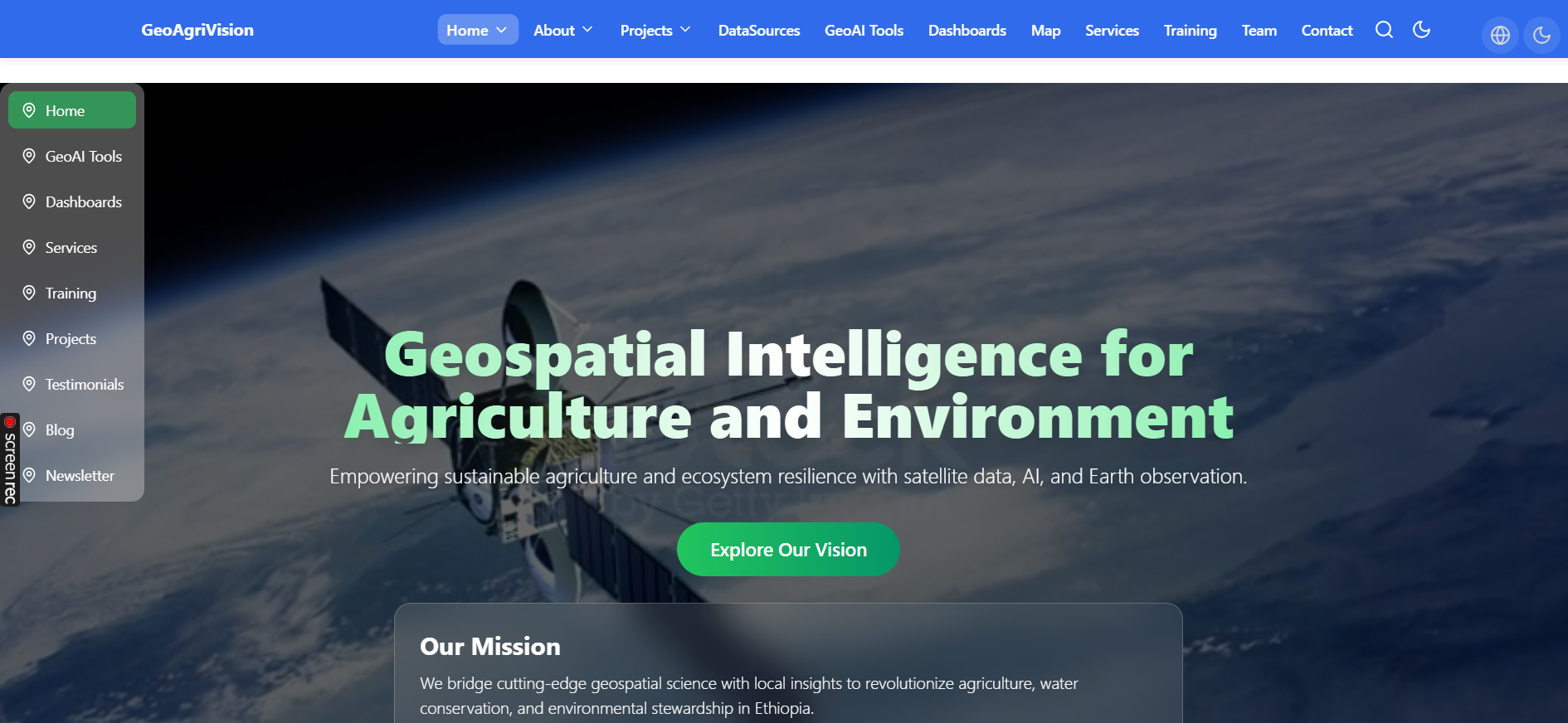
Interactive WebGIS platform for climate-smart agriculture, drought monitoring, and precision farming. Real-time satellite data, AI predictions, and farmer dashboards.
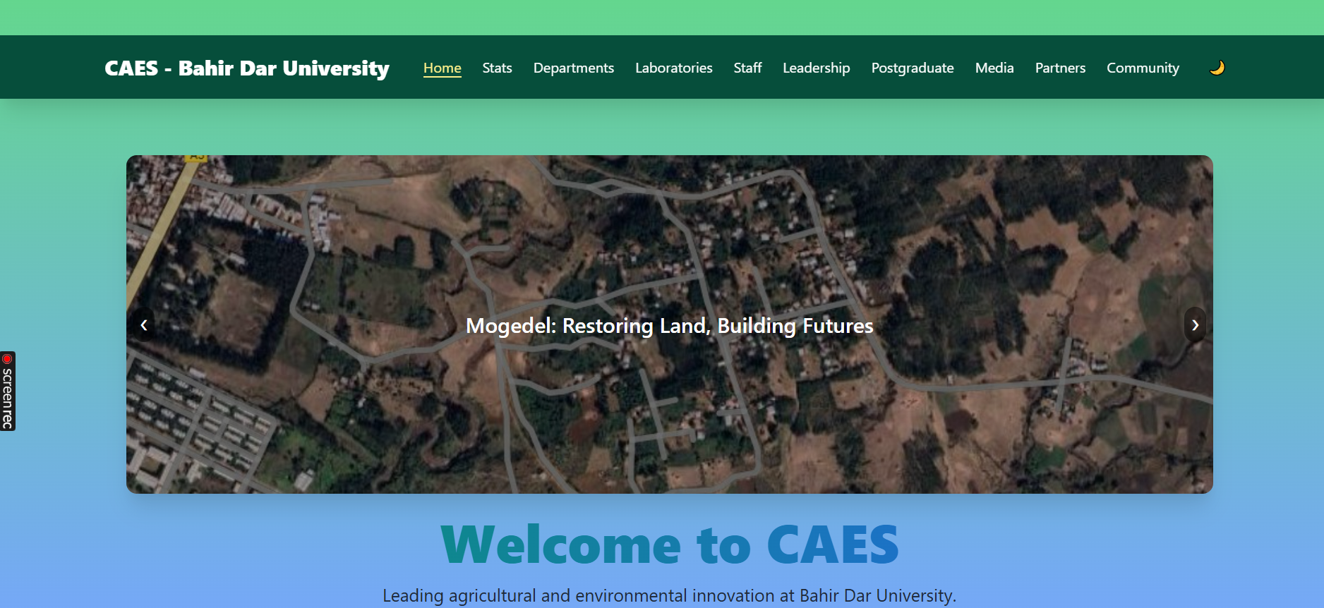
Postgraduate research portal with interactive data visualization, publication tracking, and real-time collaboration tools for Bahir Dar University.
Full academic ecosystem: student dashboards, course registration, research repository, and AI-powered recommendation engine.

Real-time climate monitoring for Ethiopia: SPI, PDSI, rainfall trends, temperature anomalies, and drought risk maps. Powered by CMIP6 & CHIRPS.
Working with world-leading experts in hydrology, GeoAI, and climate resilience
GeoAI • Climate • Africa • Tomorrow